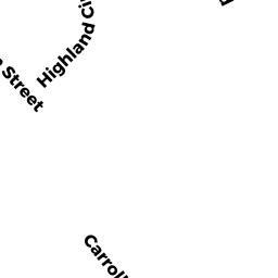
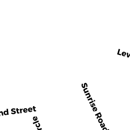
8 CARROLL DRIVE
Owner Information
CURRERI MICHAEL & AMY TE
8 CARROLL DRIVE
FOXBOROUGH, MA 02035


Property Details
8 CARROLL DRIVE is classified as a Single Family Residential (Raised ranch).
The primary structure on this property was built in 1979. There are 3,488ft2 of built area within this property. There is 1,248ft2 of residential/living space within this property. This property is listed as having 7 rooms.
8 CARROLL DRIVE is valued at $529,100. The land is valued at $243,300 and the structures are valued at $275,100. There is an additional valuation of $10,700 on this property.
This property is in Zone R 40. Confirm with local Zoning Board authorities to ensure there are no overlays or other easements on this property.
The most recent deed for 8 CARROLL DRIVE is recorded at the local registrar in Book 1153771, Page 0. 8 CARROLL DRIVE was last sold on Tuesday, May 27, 2008 for $402,300.
Assessment data from fiscal year 2022.
Flood Data
According to the FEMA National Flood Hazard Layer, this property does not appear to be in a flood zone. It may also be in an area not yet reviewed. Nonetheless, confirm this information prior to taking any action.
To view the flood hazards around this property, create a FEMA "Firmette" Map of the area around 8 CARROLL DRIVE.
Broadband Internet Providers
| Provider | Type | Bandwidth (mbps) | |
|---|---|---|---|
| Viasat Inc | Satellite | 100 | 3 |
| VSAT Systems, LLC. | Satellite | 2 | 1 |
| HughesNet | Satellite | 25 | 3 |
| GCI Communication Corp. | Satellite | 0 | 0 |
| Comcast | Cable | 1000 | 35 |
| Verizon New England Inc. | Fiber | 940 | 880 |
| Verizon New England Inc. | DSL | 3 | 0 |
Broadband service provider data from December 2020.
Adjacent Properties
- 15 SUNRISE ROAD
Single Family Residential owned by MANNING JAMES M & ELAINE C TE - 11 SUNRISE ROAD
Single Family Residential owned by DOYLE MICHAEL P & CHRISTINE P TE - 6 HIGHLAND CIRCLE
Single Family Residential owned by RILEY DANIELLE K & KEVIN F JT - 4 HIGHLAND CIRCLE
Single Family Residential owned by CYR CHRISTOPHER E - 8 HIGHLAND CIRCLE
Single Family Residential owned by FROST PAUL W & ELIZABETH JEAN TE - 12 THURSTON STREET
Single Family Residential owned by SMITH FRANK E & RONALD A - 12 CARROLL DRIVE
Single Family Residential owned by MICHELSON DAVID & STACIE MILLER TE - 13 THURSTON STREET
Single Family Residential owned by OMALLEY MARYELLEN